
By TERRY WEST
AFTER the last few weeks of hot weather and storms, Mother Nature brought some relief in the way of cooler temperatures. These won’t last though, and the average through December is showing around 30 to 35 degrees Celsius.
Even though the El Nino is still very active, it has been offset by a
higher-than-usual Indian Ocean Sea Surface temperature.
The October sea surface temperature was the highest for any month on record and this has allowed rain and storms to move into the eastern parts of the country.
It is forecast that there will be average rainfall throughout December and into the early parts of next year.
During December rainfall from the tropics is forecast in and around these dates 17 December to 21 December, 21 December to 25 December, 8 January to 12 January.
These events will likely be more coastal than inland.
The forecast says there will be cold front events moving from the south and southwest in and around 12 December to 16 December, 18 December to 22 December and 4 January to 8 January.
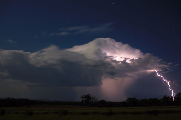
The cold fronts from the southwest and south are the systems that will bring storms to the region throughout the month. Any storms on these dates have the potential to produce hail, wind and heavy, widespread rain.
To wrap up, December is likely to be wetter and warmer than average across southeast Queensland and northeast NSW, parts of the interior of Qld.


